

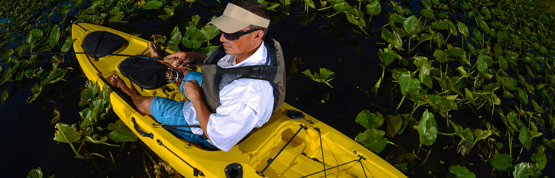
Pocomoke River from Shelltown Boat Ramp
Download our Pocomoke River from Shelltown Boat Ramp PDF file.
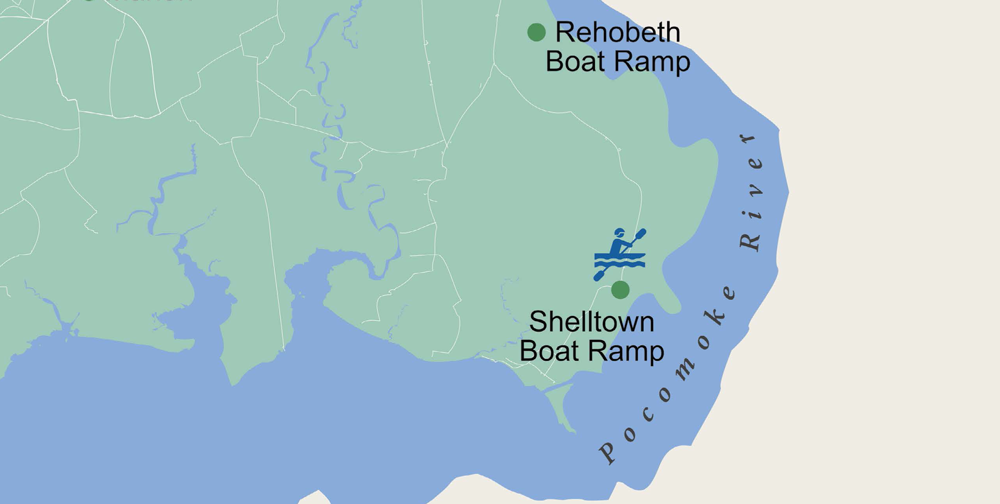
The Pocomoke River stretches approximately 66 miles (106 km) from southern Delaware through southeastern Maryland. At its mouth, the river is essentially an arm of the Chesapeake Bay, whereas the upper river flows through a series of relatively inaccessible wetlands called the Great Cypress Swamp, largely populated by Loblolly Pine, Red Maple, and Bald Cypress. The river is the easternmost river that flows into the Chesapeake Bay. “Pocomoke” local, though traditionally interpreted as “dark (or black) water” by local residents, is now agreed by scholars of the Algonquian languages to be derived from the words for “broken (or pierced) ground,” and likely referred to the farming practices of the surrounding indigenous peoples.

 Made possible with funding from the Centers of Disease Control and Prevention.